Bhuvan is an Indian geo-portal developed by the Indian Space Research Organisation (ISRO), providing satellite imagery, geographic information systems (GIS), and geospatial data on India. Launched in 2009, Bhuvan serves as a versatile platform for remote sensing applications, offering high-resolution imagery and a wide range of spatial data for multiple sectors.
Key Features of Bhuvan
- Satellite Imagery Access – Bhuvan provides access to multi-resolution images from Indian satellites like Cartosat, Resourcesat, and Oceansat, covering urban planning, agriculture, forestry, and disaster management.
- Interactive Mapping Tools – The platform allows users to create customized maps with thematic data layers on land use, water resources, and infrastructure, offering support for various state and central government projects.
- Geospatial Services – Bhuvan supports geotagging, 3D visualization, and real-time data processing, essential for applications in disaster response, environmental monitoring, and resource mapping.
Benefits of Bhuvan
1. Disaster Management
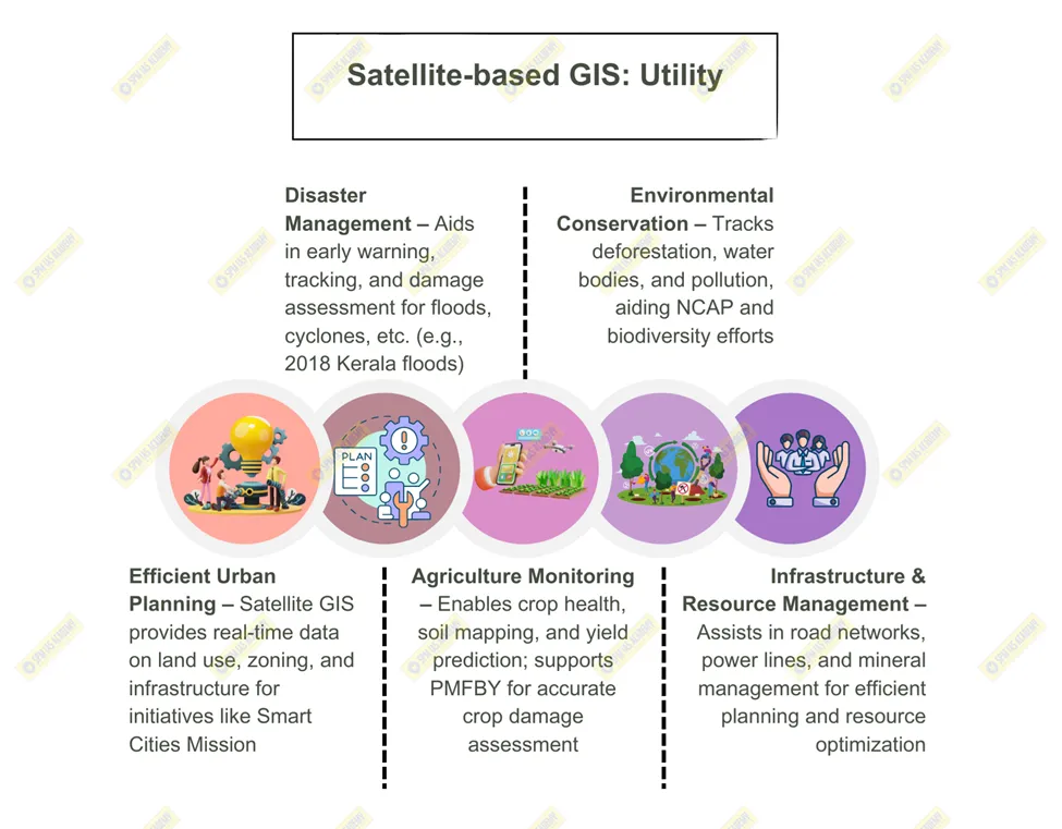
Bhuvan’s real-time data supports flood mapping, cyclone tracking, and earthquake monitoring. It aided in assessing damages during the Kerala floods of 2018, providing critical information for relief and rehabilitation efforts.
2. Agriculture and Crop Monitoring
Bhuvan is used in Pradhan Mantri Fasal Bima Yojana (PMFBY) to assess crop loss, enabling more accurate insurance claims. The platform provides crop health data, supporting precision agriculture and productivity improvements.
3. Urban Planning and Development
Bhuvan’s high-resolution imagery assists urban planners in infrastructure development, land use planning, and monitoring environmental impacts, crucial for Smart City projects across India.
4. Environmental Monitoring
The portal supports the National Clean Air Programme (NCAP) by providing data on pollution levels, forest cover, and water resources, aiding in conservation and environmental policy-making.
5. Support for Governance and Policy
Bhuvan collaborates with Ministry of Rural Development for geospatial data on MGNREGA projects, tracking work progress and resource allocation effectively.
Bhuvan has become a critical asset in India’s space technology ecosystem, facilitating efficient data-driven decision-making across sectors, thus promoting sustainable development and effective governance.