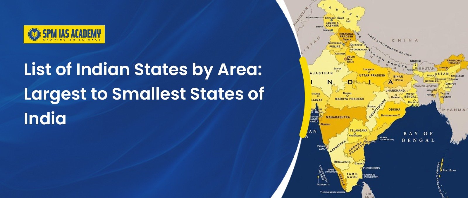
India is the seventh-largest country in the world by area and has a highly diverse political and physical geography. At present, India has 28 states and 8 Union Territories. Among the states, Rajasthan is the largest by area, while Goa is the smallest.
For exam aspirants, the List of Indian States by Area is important under Indian Geography, Political Geography, Mapping, Federalism, State Reorganisation, and General Studies. Questions from this topic frequently appear in UPSC Prelims, state PCS examinations, and map-based practice. Aspirants preparing with the best UPSC coaching in Assam can strengthen their conceptual understanding through structured guidance, regular current affairs updates, and focused geography practice aligned with the latest exam pattern.
List of Indian States by Area
This article shows the ranks of Indian states from largest to smallest according to their geographical area. Here, area means the total land surface covered by a state, usually measured in square kilometres.
This ranking is different from population ranking. For example, Rajasthan is the largest state by area, but Uttar Pradesh is the most populous state. Similarly, Goa is the smallest state by area, but it is not the least populated state of India.
Therefore, students should clearly remember the difference between area-wise ranking and population-wise ranking.
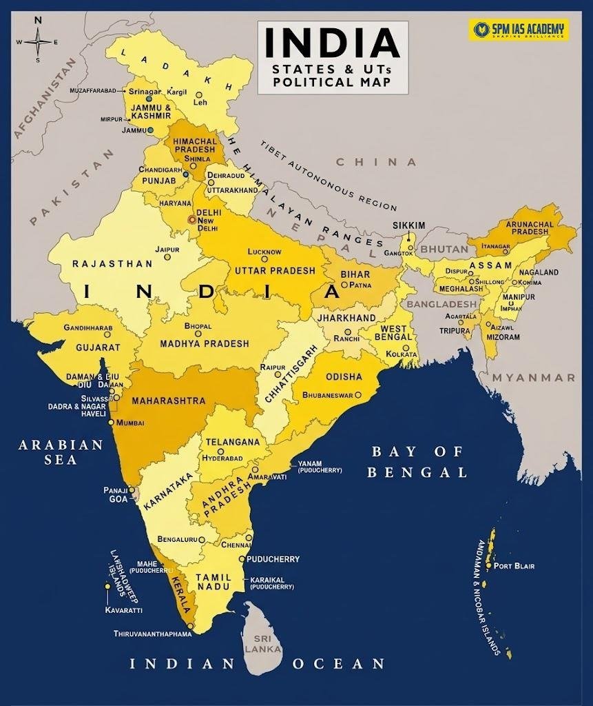
Which is the Largest State in India by Area?
- Rajasthan is the largest state in India by area. It covers about 342,239 square kilometres and accounts for nearly 10.4% of India’s total geographical area.
- Rajasthan is located in northwestern India. It shares an international border with Pakistan and also shares boundaries with Punjab, Haryana, Uttar Pradesh, Madhya Pradesh and Gujarat. The Thar Desert covers a large part of Rajasthan, which adds to its geographical importance.
Top 10 Largest States in India by Area
The top 10 states cover a major part of India’s landmass. These states are important for geography, economy, agriculture, minerals, forests and internal security.
| Rank | State | Area |
| 1 | Rajasthan | 342,239 sq km |
| 2 | Madhya Pradesh | 308,252 sq km |
| 3 | Maharashtra | 307,713 sq km |
| 4 | Uttar Pradesh | 240,928 sq km |
| 5 | Gujarat | 196,024 sq km |
| 6 | Karnataka | 191,791 sq km |
| 7 | Andhra Pradesh | 162,968 sq km |
| 8 | Odisha | 155,707 sq km |
| 9 | Chhattisgarh | 135,192 sq km |
| 10 | Tamil Nadu | 130,060 sq km |
This is especially useful for Prelims because questions often ask about the largest states in descending order.
Complete List of Indian States by Area
Here is the complete List of Indian States by Area from largest to smallest.
| Rank | State | Area |
| 1 | Rajasthan | 342,239 sq km |
| 2 | Madhya Pradesh | 308,252 sq km |
| 3 | Maharashtra | 307,713 sq km |
| 4 | Uttar Pradesh | 240,928 sq km |
| 5 | Gujarat | 196,024 sq km |
| 6 | Karnataka | 191,791 sq km |
| 7 | Andhra Pradesh | 162,968 sq km |
| 8 | Odisha | 155,707 sq km |
| 9 | Chhattisgarh | 135,192 sq km |
| 10 | Tamil Nadu | 130,060 sq km |
| 11 | Telangana | 112,077 sq km |
| 12 | Bihar | 94,163 sq km |
| 13 | West Bengal | 88,752 sq km |
| 14 | Arunachal Pradesh | 83,743 sq km |
| 15 | Jharkhand | 79,716 sq km |
| 16 | Assam | 78,438 sq km |
| 17 | Himachal Pradesh | 55,673 sq km |
| 18 | Uttarakhand | 53,483 sq km |
| 19 | Punjab | 50,362 sq km |
| 20 | Haryana | 44,212 sq km |
| 21 | Kerala | 38,863 sq km |
| 22 | Meghalaya | 22,429 sq km |
| 23 | Manipur | 22,327 sq km |
| 24 | Mizoram | 21,081 sq km |
| 25 | Nagaland | 16,579 sq km |
| 26 | Tripura | 10,486 sq km |
| 27 | Sikkim | 7,096 sq km |
| 28 | Goa | 3,702 sq km |
Which is the Smallest State in India by Area?
Goa is the smallest state in India by area. It covers about 3,702 square kilometres. Despite its small size, Goa has strong economic and cultural importance due to tourism, ports, coastal geography and historical heritage.
For exams, students should remember that Goa is the smallest state, while Lakshadweep is the smallest Union Territory by area.
State Area vs Population: Why Students Should Not Confuse Them
- The List of Indian States by Area should not be confused with the list of Indian states by population. Rajasthan is the largest state by area, but Uttar Pradesh has the highest population.
- Similarly, Sikkim is one of the smallest states by area and also has a low population. However, area and population do not always follow the same pattern. A geographically large state may have low population density, while a smaller state may have high population density.
This distinction is important for questions on population density, resource distribution, administrative planning and regional development.
List of Indian States by Area and Regional Geography
The List of Indian States by Area also helps students understand India’s regional diversity.
- Rajasthan represents desert geography. Madhya Pradesh and Chhattisgarh represent central Indian plateau and forest regions.
- On the other hand, Maharashtra and Gujarat connect geography with industry, ports and trade.
- Moreover, Arunachal Pradesh, Assam and other northeastern states show the importance of mountains, rivers, forests and border geography.
Therefore, area-wise ranking is not just factual data. It helps students connect political geography with physical, economic and strategic geography.
Quick Facts on Indian States by Area
- Largest state by area: Rajasthan
- Smallest state by area: Goa
- Second-largest state: Madhya Pradesh
- Third-largest state: Maharashtra
- Largest northeastern state by area: Arunachal Pradesh
- Assam’s area rank among states: 16th
- Total states in India: 28
- Total Union Territories in India: 8
Conclusion
The List of Indian States by Area is a basic but highly important topic for UPSC, APSC and State PCS exams. Rajasthan is the largest state by area, while Goa is the smallest. Madhya Pradesh and Maharashtra occupy the second and third positions respectively. Students should not memorise the list mechanically. Instead, they should connect it with physical geography, population distribution, regional development, resources, borders and governance.
Sources:
Frequently Asked Questions
Rajasthan is the largest state in India by area. It covers about 342,239 square kilometres.
Goa is the smallest state in India by area. It covers about 3,702 square kilometres.
The top three largest states by area are Rajasthan, Madhya Pradesh and Maharashtra.
No. Uttar Pradesh is the most populous state, but it is not the largest state by area. Rajasthan is the largest state by area.