
India has strengthened its Earth-observation capabilities with the successful launch of the EOS-05 Satellite aboard the GSLV-F17 rocket. ISRO launched the satellite on 4 September 2026 from the Satish Dhawan Space Centre, Sriharikota. It describes EOS-05 as India’s first-ever imaging satellite from a geosynchronous orbit.
The mission is important because most Earth-observation satellites operate much closer to Earth in Low Earth Orbit (LEO). EOS-05, however, will operate in a geosynchronous orbit (GSO). It will allow it to repeatedly observe a large region from a very high altitude.
For UPSC and APSC aspirants, the EOS-05 Satellite connects several important topics, including space technology, Earth observation, types of orbits etc. Moreover, it also connects to disaster management, agriculture, national security, GSLV technology and India’s growing space ecosystem.
This article explains the EOS-05 satellite, its mission objectives, orbit, GSLV-F17 launch, applications and the difference between geosynchronous orbit and geostationary orbit.
What Is the EOS-05 Satellite?
- The EOS-05 Satellite is a state-of-the-art Earth-observation spacecraft developed by ISRO. Its main purpose is to capture images of large areas at frequent intervals.
- Unlike other Indian EOS satellites, EOS-05 is designed to work from a geosynchronous orbit, roughly 36,000 km above the Earth.
- This high-altitude position gives the satellite a wide field of view. Therefore, it can repeatedly observe the same broad region and provide data at shorter intervals.
- Therefore, EOS-05 can support areas such as Disaster monitoring, Agriculture, Forestry, Environmental observation and Strategic and defence applications.
- The satellite has a payload mass of approximately 2,367 kg. ISRO’s GSLV-F17 first placed it into a Sub-Geosynchronous Transfer Orbit (Sub-GTO).
Why Was the EOS-05 Satellite in the News?
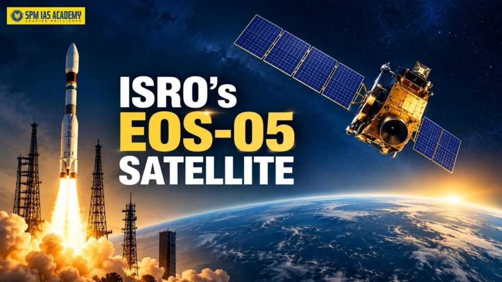
- ISRO successfully launched the EOS-05 Satellite on 4 September 2026 using the GSLV-F17 rocket. The mission marked the 19th flight of India’s Geosynchronous Satellite Launch Vehicle.
- Moreover, EOS-05 is India’s first imaging satellite designed to operate from a geosynchronous orbit. In addition, it is one of the heavy Earth-observation payloads for the GSLV mission.
- The launch vehicle did not place the satellite directly into its final operational orbit. Instead, GSLV-F17 injected EOS-05 into a Sub-GTO. The satellite then used its own Liquid Apogee Motor (LAM) to raise and reshape its orbit.
How Did EOS-05 Reach Its Geosynchronous Orbit?
After launch, ISRO carried out a series of orbit-raising manoeuvres.
- On 5 September, the first major manoeuvre moved the satellite to an estimated 20,000 km × 31,129 km orbit. ISRO said it planned further manoeuvres to place EOS-05 in a geosynchronous orbit at the 85.5° East orbital slot.
- On 6 September, ISRO raised the satellite’s apogee to about 35,786 km.
- Finally, on 7 September, ISRO completed the third and final orbit-raising manoeuvre. After this operation, the estimated orbit stood at around 34,903 km × 35,884 km. ISRO also reported that the satellite remained healthy.
Thus, EOS-05 gradually moved from a highly elliptical transfer orbit towards its required high-altitude geosynchronous orbit.
Why Is the EOS-05 Satellite called the Eye in the sky?
- The main advantage of EOS-05 lies in its ability to provide frequent observations of a large area.
- Most Earth-observation satellites operate in Low Earth Orbit, usually a few hundred kilometres above the planet. Since these satellites move rapidly around Earth, they pass over a particular area only at certain times.
- However, a satellite in a geosynchronous orbit moves in step with Earth’s rotation. As a result, it can maintain a long and repeated view of the same broad geographical region.
Therefore, EOS-05 can act as an important “eye in the sky” for applications that require frequent monitoring. This capability becomes especially valuable during rapidly changing situations such as floods, cyclones, forest fires or other disasters.
What are the Major Applications of EOS-05 Satellite?
- Disaster Management: EOS-05 can support the monitoring of floods, cyclones, forest fires and other large-scale disasters. Moreover, frequent images can help authorities understand how a situation changes over time. It will help in planning for disaster management.
- Agriculture: The satellite can provide repeated observations of agricultural areas. Such data can help in monitoring crop conditions, vegetation changes and large agricultural regions.
- Forestry and Environment: EOS-05 can help track changes in forest cover, vegetation and other environmental conditions over large areas.
- Strategic and Defence Applications: EOS-05 also has strategic importance. Its ability to frequently observe large regions can support national-security requirements. According to reports, the Indian Navy is expected to be among the users of strategic data from EOS-05.
- Monitoring Changing Weather and Disasters: A satellite that repeatedly observes the same broad region can also help track rapidly changing weather systems and their impact. This is one reason high-altitude Earth-observation satellites are useful for continuous or near-continuous monitoring.
What are the similarities and differences between Geosynchronous Orbit vs Geostationary Orbit?
What is Geosynchronous Orbit?
A Geosynchronous Orbit is an orbit where a satellite completes one revolution around Earth in the same time Earth takes to rotate, allowing it to maintain a consistent position relative to a specific region.
What is a Geostationary Orbit?
A Geostationary Orbit is a special type of geosynchronous orbit where a satellite moves in a circular equatorial path at the same speed as Earth’s rotation, making it appear fixed over one location.
Understanding the difference between a geosynchronous orbit and a geostationary orbit is especially important for UPSC and APSC examinations.
| Feature | Geosynchronous Orbit (GSO) | Geostationary Orbit (GEO) |
| Orbital period | Matches Earth’s rotation period | Matches Earth’s rotation period |
| Shape | Can be circular or elliptical | Circular |
| Inclination | Can be inclined | Zero inclination |
| Position relative to equator | Need not remain directly above equator | Directly above equator |
| Appearance from Earth | May appear to move in a regular pattern | Appears fixed at one point |
| Relationship | Broader category | Special type of GSO |
| Main advantage | Long and repeated regional coverage | Continuous view of the same region |
A geostationary orbit is a special type of geosynchronous orbit.
For a satellite to appear completely stationary from Earth, it must follow a circular orbit directly above the equator, have zero inclination and complete one orbit in the same time that Earth takes to rotate.
However, a geosynchronous satellite does not always meet all these conditions. Its orbit can be slightly elliptical or inclined. Therefore, although it moves in sync with Earth’s rotation and stays focused on the same broad region, it may not appear perfectly fixed at one point in the sky.
This distinction is important while understanding EOS-05.
Why Did ISRO Choose a Geosynchronous Orbit for EOS-05?
Each satellite orbit serves a different purpose.
- A Low Earth Orbit allows satellites to capture detailed images from relatively close to Earth. However, a satellite in LEO moves quickly over different parts of the planet and cannot continuously observe the same location.
- In contrast, a high-altitude geosynchronous orbit provides a wider and more persistent view.
- Therefore, such an orbit works well for an “eye in the sky” mission that needs to repeatedly monitor a large geographical region.
- ISRO chose a geosynchronous configuration for EOS-05 rather than a conventional circular geostationary orbit, according to reports on the mission’s orbital planning.
This gives the mission flexibility while still allowing frequent observation of the Indian region.
Why Did ISRO Use a Transfer Orbit?
Placing a satellite weighing more than two tonnes directly into a high-altitude operational orbit requires a large amount of energy. Therefore, launch vehicles often use a Geosynchronous Transfer Orbit (GTO) or, in this case, a Sub-Geosynchronous Transfer Orbit.
GSLV-F17 first carried EOS-05 into the Sub-GTO. After separation from the rocket, the satellite used its own propulsion system to gradually increase its altitude and modify its orbit. This method divides the work between the launch vehicle and the satellite’s onboard propulsion system. Consequently, ISRO can use available launch-vehicle energy more efficiently.
GSLV-F17 and Cryogenic Technology
- The EOS-05 mission also highlights the importance of India’s GSLV programme.
- GSLV-F17 is a three-stage launch vehicle. Its upper stage uses cryogenic propulsion, which uses liquid hydrogen and liquid oxygen as propellants. ISRO’s mission brochure identifies the third stage as the CUS15 cryogenic upper stage.
- Cryogenic technology is important because it provides high efficiency for launching heavy satellites towards high-energy orbits.
Therefore, the success of GSLV-F17 also demonstrates India’s indigenous capability to launch complex and heavy spacecraft.
EOS-05 Satellite and India’s Space Sector
The EOS-05 Satellite mission reflects India’s growing capabilities in satellite design, launch technology and orbital manoeuvring.
Moreover, the mission highlights cooperation between ISRO and India’s wider industrial ecosystem. Such cooperation has become increasingly important as India expands private-sector participation in space activities.
The mission also strengthens India’s ability to use space-based information for both civilian and strategic purposes.
Conclusion
The EOS-05 Satellite marks an important step in India’s Earth-observation programme. By operating from a geosynchronous orbit, the satellite can repeatedly observe large areas and support applications ranging from disaster management and agriculture to forestry and national security.
At the same time, the successful GSLV-F17 mission demonstrates India’s progress in cryogenic launch technology, spacecraft propulsion and complex orbital manoeuvring.
For UPSC and APSC aspirants, EOS-05 is more than a current-affairs topic. It provides a useful real-world example for understanding satellite orbits, Earth observation, GSLV technology and India’s expanding role in space-based applications.
Read More:
Source:
Frequently Asked Question
1. What is the EOS-05 Satellite, and why is it important?
The EOS-05 Satellite is an advanced Earth-observation satellite developed by ISRO. It operates from a geosynchronous orbit, which allows it to repeatedly observe large geographical areas. Therefore, EOS-05 can support disaster management, agriculture, forestry, environmental monitoring and strategic applications. Moreover, it strengthens India’s Earth-observation and space-based surveillance capabilities.
2. What is the difference between the geosynchronous orbit of EOS-05 and a geostationary orbit?
A geosynchronous orbit matches Earth’s rotational period, but it can be inclined or elliptical. In contrast, a geostationary orbit is circular, lies directly above the equator and has zero inclination. Therefore, every geostationary orbit is geosynchronous, but every geosynchronous orbit is not geostationary. The EOS-05 Satellite uses a geosynchronous orbit to provide frequent observations of a large region.
3. What are the major applications of the EOS-05 Satellite?
The EOS-05 Satellite supports several important applications. It can monitor floods, cyclones, forest fires, crops, vegetation and environmental changes. In addition, its frequent Earth-imaging capability can support strategic and national-security requirements. Consequently, EOS-05 can strengthen India’s disaster preparedness, agricultural monitoring, environmental management and space-based strategic capabilities.

Behind every article at SPM IAS Academy is a team of skilled content writers and subject experts committed to making preparation easier for aspirants. From answering common doubts to breaking down complex issues and current affairs, we create content that is accurate, easy to understand, and directly useful for UPSC, APSC, and other competitive exams.