
A new scientific study has identified 219 hanging glaciers in the Alaknanda basin of Uttarakhand’s Garhwal Himalayas. These glaciers cover about 71.7 sq km and contain an estimated 2.39 cubic km of ice. The study warns that warming and climate variability are increasing glacier instability and the risk of sudden ice break-offs, avalanches and downstream hazards.
The findings are important for understanding Himalayan geomorphology, climate change, disaster management and mountain infrastructure.
What Is a Hanging Glacier?
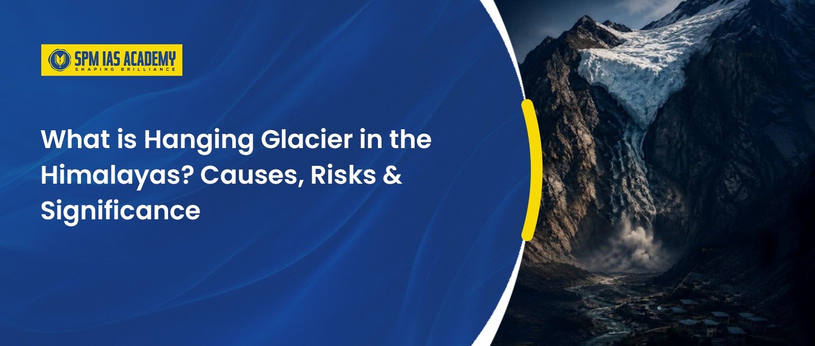
- A hanging glacier is a glacier that develops on a steep mountain slope or valley wall and ends abruptly above the main valley floor. Unlike a valley glacier, it does not extend continuously down the valley.
- Because it occupies a steep and unstable setting, parts of a hanging glacier can detach from the mountain. Such break-offs may produce ice avalanches, rock-ice avalanches and debris flows.
- Therefore, scientists consider these glaciers important indicators of mountain hazard. Their instability can become particularly dangerous when settlements, roads, hydropower projects or pilgrimage routes lie below them.

What are the Key Findings on Hanging Glacier in the Alaknanda Basin?
- The 2026 basin-scale study provides the first comprehensive inventory of hanging glaciers in the Alaknanda basin. Researchers identified 219 glaciers covering 71.7 ± 3.5 sq km. Their estimated total ice volume stands at 2.39 ± 0.42 cubic km.
- Importantly, the study estimated about 0.74 ± 0.14 cubic km of hanging ice mass, representing the potentially unstable component.
- The glaciers occur between approximately 4,018 m and 6,759 m elevation. Their mean surface slope is about 33.65°, showing the steep terrain in which they develop.
- Moreover, around 30% of the hanging mass volume occurs in the Upper Alaknanda basin. This concentration makes the area particularly important for targeted monitoring.
Why Are Hanging Glaciers Dangerous?
- The main concern is sudden ice detachment. A large hanging glacier can release ice and rock onto steep slopes. The resulting avalanche can travel rapidly towards lower elevations.
- The study used avalanche-flow modelling to assess possible downstream impacts. In the Badrinath-Mana sector, simulated flow heights could exceed 50 metres in some scenarios.
- Such hazards matter because the Alaknanda basin contains important settlements, pilgrimage centres, roads and hydropower infrastructure.
- For example, Badrinath, Mana, Joshimath, Chamoli and Tapovan lie within the broader basin. The region also contains hydropower projects and important pilgrimage and trekking routes.
How Does Climate Change Increase the Risk?
- Climate change does not simply cause glaciers to disappear. It can also alter their geometry, stability and dynamics.
- Researchers have observed increasing instability in Himalayan glaciers under rapid warming and climate variability. Glacier retreat can detach smaller ice bodies from larger glacier systems and leave them perched on steep mountain slopes.
- Furthermore, changes in temperature can affect snow and ice conditions and contribute to permafrost degradation. These changes can weaken mountain slopes and increase the likelihood of cascading hazards.
- However, climate change is one factor among several. Slope angle, rock structure, fractures, snowfall, glacier geometry and local topography also influence the stability of a hanging glacier.
Growing Human Exposure in the Himalayas
- The hazard becomes more serious when human activity expands into vulnerable mountain areas.
- The study projects a sharp increase in exposure around the Alaknanda basin. Built-up surfaces exposed to potential avalanche hazards could rise from approximately 8,000 sq m in 2000 to 152,000 sq m by 2030. The exposed population could increase from about 380 to 8,500 over the same period.
Thus, Himalayan disaster risk depends not only on the physical hazard but also on where people build settlements and infrastructure.
Hanging Glacier and the Alaknanda Basin: Why It Matters
- The Alaknanda is one of the two major headstreams of the Ganga. It originates in the high Himalayas and meets the Bhagirathi at Devprayag, where the Ganga begins.
- The basin covers about 11,055 sq km and contains numerous glaciers, settlements, pilgrimage centres and hydropower projects.
- Therefore, instability in the upper basin can have consequences far beyond the immediate glacier zone.
- The issue also connects with the 2021 Chamoli disaster, when a rock and ice avalanche caused severe destruction and more than 200 deaths. The event demonstrated how high-altitude geological processes can rapidly become downstream disasters.
How Can India Reduce Hanging Glacier Risks?
India needs a combination of scientific monitoring and risk-sensitive development.
- First, authorities should maintain detailed inventories of vulnerable glaciers.
- Moreover, satellite imagery and digital elevation models can help track glacier changes.
- In addition, scientists should monitor unstable slopes, crevasses and hanging ice masses.
- Furthermore, avalanche and flood modelling can identify high-risk settlements and infrastructure.
- Similarly, authorities should strengthen early-warning systems in vulnerable valleys.
- Finally, infrastructure planning should incorporate mountain hazards instead of relying only on post-disaster response.
The Alaknanda study itself demonstrates the value of combining remote sensing, digital elevation models, ice-thickness modelling and avalanche simulations for risk assessment.
Conclusion
The discovery of 219 hanging glaciers in the Alaknanda basin highlights the growing need to understand the changing Himalayan cryosphere. Climate warming, complex terrain and expanding human exposure can combine to increase disaster risks.
Therefore, India should move from reactive disaster management towards continuous glacier monitoring, early warning, scientific risk assessment and climate-resilient infrastructure. The Alaknanda basin offers an important case study of how geography, climate change and human development interact in the fragile Himalayas.
Read More:
Source:
Frequently asked question
1. What is a hanging glacier in the Himalayas?
A hanging glacier forms on a steep mountain slope or valley wall and ends abruptly above the main valley floor. Moreover, unstable sections can break away and trigger ice avalanches, rock-ice avalanches and debris flows.
2. Why are hanging glaciers dangerous?
Hanging glaciers can suddenly release large masses of ice and rock. Consequently, avalanches can move rapidly downslope and threaten settlements, roads, hydropower projects and pilgrimage routes. In the Alaknanda basin, modelling indicates that avalanche flow heights could exceed 50 metres in some Badrinath-Mana scenarios.
3. How does climate change affect hanging glaciers?
Climate change can alter glacier geometry, stability and dynamics. Furthermore, rising temperatures can contribute to glacier retreat and permafrost degradation, which may increase slope instability. However, factors such as slope angle, rock structure, fractures, snowfall and local topography also influence glacier stability.