
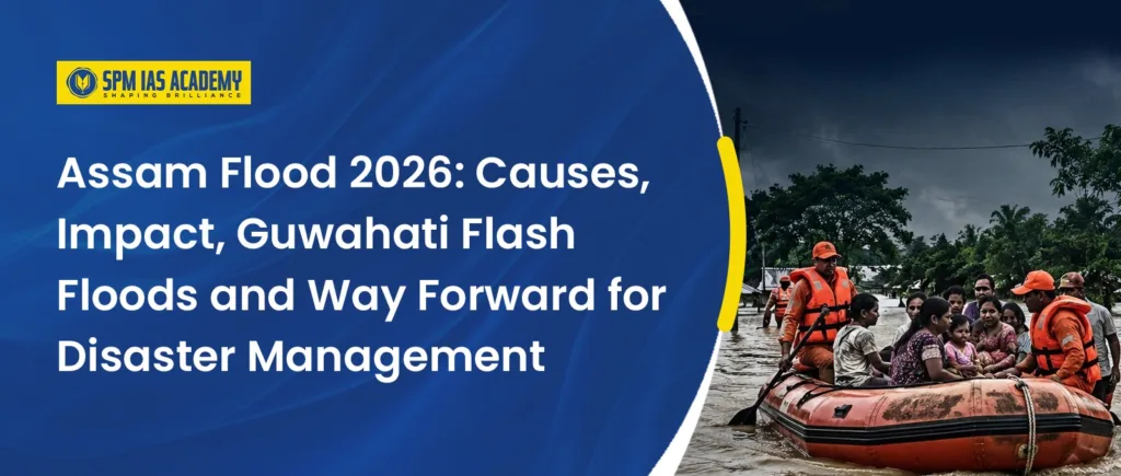
Assam Flood 2026 has once again highlighted why floods remain the most frequent and destructive natural disaster in Assam. Nearly 40% of the Brahmaputra Valley is flood-prone, making the state one of India’s most vulnerable regions to recurring floods. However, the 2026 flood situation also showed a changing pattern. Along with traditional riverine floods, Assam witnessed more instances of flash floods, urban flooding and sudden inundation in Upper Assam, especially in districts such as Sivasagar and Charaideo.
For UPSC, APSC, and other State PCS aspirants, Assam Flood 2026 is an important topic under Disaster Management, Geography, Environment, Climate Change, Urban Governance, River Basin Management, Public Health, and Assam Current Affairs. Aspirants preparing at an APSC & UPSC coaching centre in Guwahati should study this topic comprehensively, as it combines current affairs with static concepts and is highly relevant for both the Preliminary and Main examinations.
Assam Flood 2026: Why is it Important?
Assam Flood 2026 is important because it shows that Assam’s flood problem is no longer limited to the overflowing of the Brahmaputra and its tributaries. The state now faces a combination of riverine floods, flash floods, urban floods, landslide-linked flood events, river basin degradation and climate-induced extreme rainfall.
The 2026 Upper Assam floods particularly affected areas that were not traditionally accustomed to severe flooding. Sivasagar, Charaideo, Jorhat, Golaghat, and Nazira witnessed extensive disruption to transport, agriculture, and public services. Moreover, the rapid rise of the Dikhow River raised serious concerns regarding landslide debris, sedimentation, and long-term river basin degradation. Aspirants enrolled in an APSC course online should study this event from the perspectives of disaster management, climate resilience, river basin management, and environmental governance, as these themes are highly relevant for competitive examinations.
Assam Flood 2026: Key Highlights
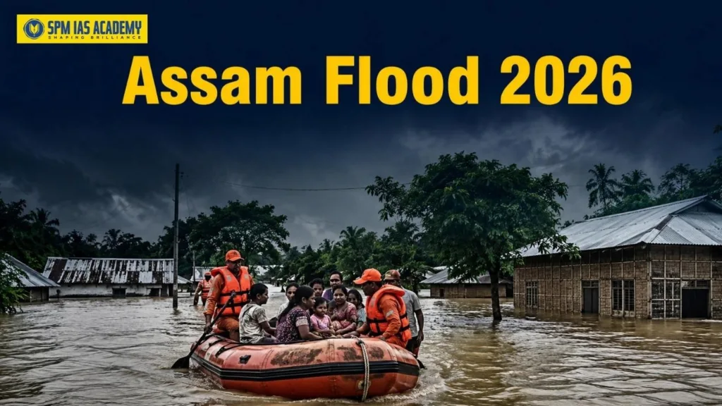
The 2026 floods caused heavy damage to life, agriculture, infrastructure and public services. According to the given content, the flood situation recorded the following major figures:
| Parameter | Status in 2026 |
| Death toll | More than 66 persons |
| Relief camps | 274 |
| People in relief camps | Over 18,000 |
| Peak relief camp population | Around 1.15 lakh |
| Crop area affected | Over 34,000 hectares |
| Major affected districts | Sivasagar, Charaideo, Jorhat, Golaghat |
Major rivers that crossed or approached danger levels included Dhansiri, Dikhow, Desang, Kushiyara and the Brahmaputra at Dibrugarh. These figures make Assam Flood 2026 a high-value current affairs topic for both APSC Prelims and Mains.
Why is Assam Flood-Prone?
Assam’s flood vulnerability arises from both natural and human-induced causes. Therefore, any long-term solution must address not only the region’s geographical challenges but also gaps in planning, governance, infrastructure, and disaster preparedness. Aspirants preparing through an IAS coaching institute Assam should understand this topic from an integrated perspective, linking geography, environmental management, climate change, and public administration, as such multidimensional issues are frequently examined in both the Preliminary and Main stages of civil services examinations.
Natural Causes of Assam Flood 2026
- Assam receives heavy monsoon rainfall every year. The Southwest Monsoon brings around 2,000–3,000 mm annual rainfall to the region. In addition, surrounding hills cause orographic rainfall, which increases runoff into the Brahmaputra and Barak river systems.
- The Brahmaputra Basin is one of the world’s largest river basins. The river carries huge volumes of water and sediment from the Himalayas. As a result, the riverbed rises, channels shift and floodwaters spread over vast floodplains.
Human-Induced Causes of Assam Flood 2026
- Human activities have made the flood problem more severe. Encroachment of wetlands, deforestation, sand mining, unplanned urbanisation, blocked drainage channels, poor embankment maintenance and climate change-driven extreme rainfall have increased flood risk.
- Thus, Assam Flood 2026 proves that floods are not just natural disasters. They are also shaped by land-use decisions, weak planning and ecological damage.
NDMA’s Assessment of Assam Flood 2026
- The National Disaster Management Authority stated that floods cannot be completely eliminated in Assam because of the state’s unique geographical and hydrological conditions. Heavy rainfall, Brahmaputra drainage constraints, Himalayan rivers and sedimentation make total flood prevention impossible.
- Therefore, NDMA recommended a shift from flood control to flood risk reduction. This means Assam should focus on advanced forecasting, technology, preparedness and community resilience instead of depending only on embankments. (This approach is important for Mains answers because it reflects modern disaster management thinking. Floods must be managed through risk reduction, not merely through post-disaster relief.)
Upper Assam Floods 2026: Role of Mining, Deforestation and River Basin Degradation
- The Upper Assam Floods 2026 exposed a new dimension of Assam’s flood vulnerability. Experts observed that the disaster was not caused by heavy rainfall alone. Illegal coal mining, stone quarrying, deforestation, hill cutting, and increasing geomorphological instability in the Dikhow River basin, particularly in Nagaland, significantly aggravated the flood situation by increasing sediment load and altering the river system. Aspirants engaged in APSC exam preparation should analyse this issue from the perspectives of disaster management, environmental conservation, interstate coordination, and sustainable development, as it combines both current affairs and core syllabus topics.
- The Dikhow River originates in Zunheboto district of Nagaland, enters Assam at Naginimora and joins the Brahmaputra at Dikhowmukh in Sivasagar. It has a length of 236 km, a catchment area of 4,372 sq km, and around 98.5 km of its length flows through Assam. Moreover, The river also has more than 15 abandoned channels or oxbow lakes.
Why Did the Dikhow River Rise So Quickly?
- Experts observed that the flood resembled a Landslide/Dam Outburst Flood. Heavy rainfall may have triggered landslides and debris blockage in the upstream region.
- When the natural blockage breached suddenly, a massive surge of water moved downstream. Consequently, the river rose from warning level to danger level and then to its highest flood level within a few hours.
- The evidence included heavy silt and debris deposition in the Dikhow and over 60 landslides reported in Mon district, Nagaland. The IMD recorded no cloudburst, and authorities reported no upstream dam failure. Therefore, the flood pattern points towards a catchment-level crisis rather than a simple rainfall event.
Environmental Concerns Linked to Assam Flood 2026
- The 2026 floods also highlighted serious environmental problems in the Dikhow basin. Illegal rat-hole mining and open-cast coal mining generated Acid Mine Drainage. Consequently, it increased sediment load and affected water quality. Stone quarrying altered river morphology, destabilised hill slopes and increased erosion.
- In 2022, the Dikhow River had reportedly turned bluish, and massive fish mortality was observed. The Pollution Control Board, Assam noted that upstream activities may have reduced the river’s pH and made the water acidic. The polluted stretch from Hatimuria to Arjunguri covered around 6 km, affecting an area of 17.6 sq km.
This background shows that Assam Flood 2026 should be studied along with mining regulation, environmental governance and inter-state river basin management.
Guwahati Flash Floods and Assam Flood 2026
- Unlike traditional river floods, Guwahati suffers mainly from urban flash floods. Heavy rainfall, poor drainage, wetland loss, encroachment, rapid urbanisation and hill cutting have made the city highly flood-prone.
- The Guwahati Metropolitan Area has six drainage basins: Bharalu, Dipar, Silsako, Foreshore, North Guwahati and Kalmoni. Among these, the Bharalu Basin is the most critical because it acts as a core drainage channel. If the Bharalu fails, Guwahati’s drainage system collapses.
- Although drainage planning began as early as 1971 and was revised in 1991, implementation remained weak. Present problems include encroached drains, silted channels, inadequate drain size, low carrying capacity and blocked natural channels. Therefore, urban flooding in Guwahati reflects a governance and planning failure.
Health Challenges After Assam Flood 2026
- Post-flood health risks are a major concern. ICMR warned about possible disease outbreaks after floods. Water-borne diseases such as typhoid, dysentery, jaundice and diarrhoea may spread due to contaminated drinking water. Authorities must ensure chlorination, boiled water and safe drinking water supply.
- Moreover, after floodwaters recede, stagnant water becomes a breeding ground for mosquitoes. This can increase the risk of malaria and dengue. Therefore, disinfection, anti-larval measures, fogging and public awareness become essential.
- Food safety also matters. People should eat freshly cooked hot food, avoid uncovered food and prevent contamination by flies.
Impact of Assam Flood 2026 on Heritage Sites
- Assam Flood 2026 also affected the state’s cultural heritage. Around 12 archaeological sites across Sivasagar and Charaideo were affected. The Directorate of Archaeology assessed the damage.
- At Darika Silsako in Simaluguri, standing stone pillars faced serious structural threats. At Gorokhia Doul in Nazira, floodwaters from the Dikhow River reached the monument’s boundary wall. Reported damage included silt deposition, algae growth and damage to lime plaster.
- Thus, flood management must also include heritage conservation and climate-resilient protection of archaeological sites.
Relief, Rescue and Rehabilitation During Assam Flood 2026
- Several agencies participated in relief and rescue operations, including ASDMA, SDRF, NDRF, Indian Air Force, Indian Army and district administrations. However, washed-away roads, inaccessible villages, boat deployment challenges and air-dropping difficulties created operational hurdles.
- The government also announced relief and rehabilitation measures. These included loan moratorium support for flood-hit people in four Upper Assam districts, interim flood assistance, ex-gratia for families of deceased or missing persons, educational assistance and special Orunodoi support in Charaideo, Sivasagar, Jorhat and Golaghat.
- The Assam State School Education Board also decided to issue free duplicate marksheets, admit cards, registration certificates and pass certificates to flood victims based on self-declaration.
ISRO Support During Assam Flood 2026
- Space technology played an important role during the floods. ISRO provided 33 flood inundation maps to ASDMA using Synthetic Aperture Radar and optical satellite imagery. These maps supported near real-time flood mapping, rescue planning, damage assessment and floodplain management.
Way Forward for Assam Flood Management
Assam needs a multi-dimensional flood management strategy. Therefore, it should combine structural, ecological, technological and governance-based measures.
Structural Measures:
- First, build scientific and climate-resilient embankments.
- Moreover, prepare clear reservoir operation protocols. At the same time, implement floodplain zoning strictly.
- Finally, upgrade storm-water drainage systems, especially in urban areas.
Nature-Based Solutions:
- To begin with, restore wetlands to absorb excess floodwater.
- Besides this, rejuvenate Silsako Beel and other natural water bodies to deal with urban floods in Guwahati.
- Moreover, adopt the urban sponge city approach in Guwahati.
- In addition, create river buffer zones to prevent encroachment.
- Furthermore, promote afforestation in catchment and hill areas.
Technology-Based Solutions:
- First, use AI-based flood forecasting for early warnings.
- Moreover, install Doppler radars for better rainfall prediction.
- In addition, prepare GIS-based flood maps for vulnerable areas.
- Also, use drones for relief delivery and damage assessment.
- Besides this, install IoT water-level sensors in major rivers.
- Finally, send mobile-based alerts to communities on time.
Governance Reforms:
- First, strengthen ASDMA with more resources and trained staff.
- Moreover, create a joint Assam–Nagaland river basin authority.
- In addition, enforce strict EIA norms for mining and quarrying.
- Also, monitor illegal mining through satellite surveillance.
- Besides this, carry out regular desiltation of rivers and drains.
- Furthermore, take strict action against wetland and drain encroachment.
- Finally, promote community-based disaster management at the village level.
Conclusion
Assam Flood 2026 shows that Assam’s flood challenge has become more complex. The state now faces riverine floods, flash floods, urban flooding, landslide-linked surges, catchment degradation, health risks and heritage damage. Therefore, Assam must move from a relief-centric approach to a risk-reduction and resilience-based approach. With better forecasting, basin-level planning, wetland restoration, strict environmental regulation and community preparedness, Assam can reduce flood losses and build a safer future.
Read More:
Source:
Frequently Asked Questions
1. What were the major causes of Assam Flood 2026?
Assam Flood 2026 occurred due to both natural and human-induced factors. Heavy monsoon rainfall, the Brahmaputra Basin, Himalayan sedimentation and orographic rainfall created natural vulnerability. In addition, wetland encroachment, deforestation, sand mining, poor drainage, illegal mining and climate-induced extreme rainfall worsened the flood situation.
2. What is the way forward for Assam flood management?
Assam should shift from flood control to flood risk reduction. Therefore, it must build climate-resilient embankments, restore wetlands, upgrade Guwahati’s drainage system, use AI-based forecasting, prepare GIS flood maps and strengthen ASDMA. Moreover, Assam should promote community-based disaster management and create a joint Assam–Nagaland river basin authority.

Behind every article at SPM IAS Academy is a team of skilled content writers and subject experts committed to making preparation easier for aspirants. From answering common doubts to breaking down complex issues and current affairs, we create content that is accurate, easy to understand, and directly useful for UPSC, APSC, and other competitive exams.